Lake Störmthal, a former opencast mine, forms a unit with neighbouring Lake Markkleeberg - connected by a canal bed and common cycling and hiking trails.
Lake Störmthal resulted from the former opencast mine in Espenhain. Through a lake-connecting canal bed, as well as common cycling and hiking trails, it forms a single tourist entity with neighbouring Lake Markkleeberg.
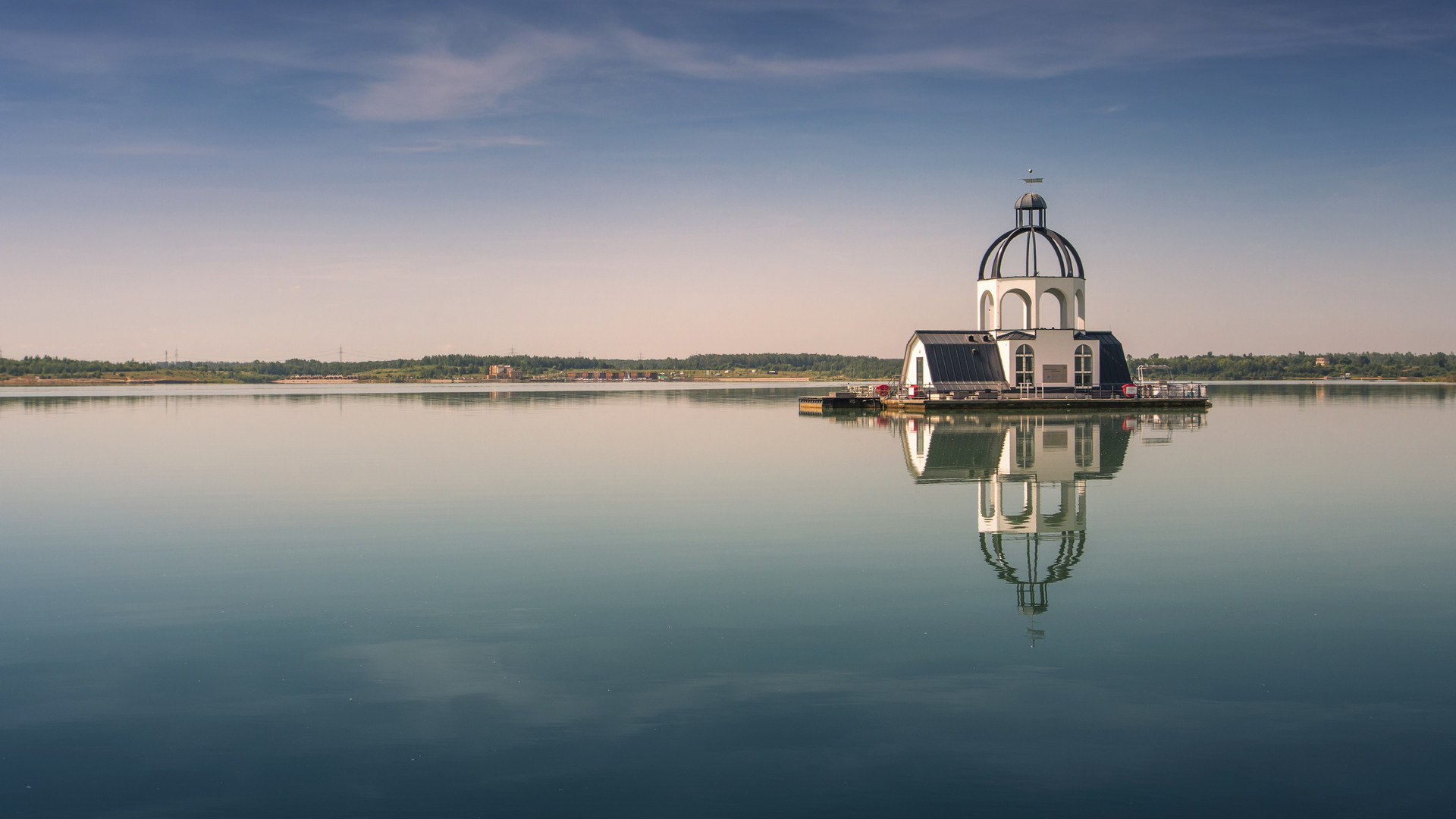
Even from afar, the Mining and Technology Park is a visible attraction. As a place where living history is conveyed and where the technological work processes of an opencast mine are commemorated, the park is of great interest to its visitors. The art object "VINETA" - a floating artistic interpretation of the former church of Magdeborn - commemorates Germany's lost lignite settlements, and since being moored in the centre of the lake, has been used for weddings and events. It can be viewed from Germany's unique amphibious vehicle.
Those who enjoy archery have the opportunity to visit the only 3D archery course in the Leipzig New Lake District. The holiday resort, LAGOVIDA, directly on the water guarantees a relaxed holiday day. The 3-day-long Indie Rock Festival, "Highfield", attended by up to 35,000 visitors takes place every year in August.
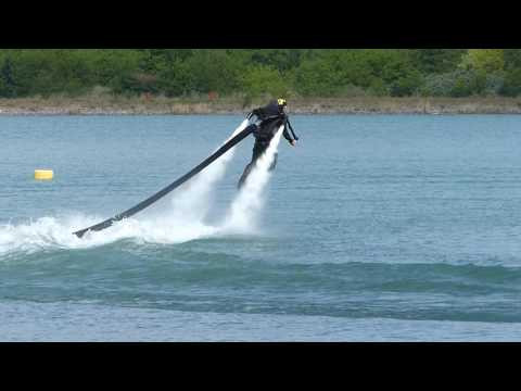
Offers: Archery, Angling, Passenger ships, Beach for Dogs, Sports, Gastronomy, Holiday resorts, Camping
Location:between Espenhain and Großpösna
Basic facts about the lake
Water surface area: 733 hectares
Shoreline:23 km
Depth: up to 56 km
Parking: Magdeborn Peninsula (Alte F95/VINETA bistro), LAGOVIDA Holiday Resort (Hafenstraße), Störmthal Lookout Point (Rödgener Straße, Störmthal)
Public transport
Störmthal Lookout Point:
- Bus: (106), (141), (145) "Störmthal, Außenstelle Gemeindeverwaltung" stop
Harbour at the LAGOVIDA holiday resort:
- Bus: (106) "Störmthaler See, Hafen" stop
Beach areas: Magdeborn Peninsula, LAGOVIDA (bathing point of full accessibility for the disabled), Dreiskau-Muckern, Störmthal
Harbours / Marinas / Mooring Areas: Sailing port at the LAGOVIDA holiday resort:
Information on the circular trail: Slopes/inclines in some parts; barriers when crossing the railway tracks on the south-western bybass